Skip all navigation and jump to content Jump to site navigation Jump to section navigation.
NASA Logo - Goddard Space Flight Center + Visit NASA.gov region to select the NASA home page region to select the NASA GSFC home page
Aerosol Robotic Network (AERONET)
TIGERZ Overview TIGERZ Instrumentation TIGERZ DATA TIGERZ LOGISTICS TIGERZ WEATHER
+ Snapshots from the TIGERZ Campaign

 +Home
 +AERONET Home


Instrumentation
Ground Instrumentation
Satellite Instrumentation
 
AERONET DATA ACCESS
 
 
AERONET Site Lists

+ Text Format

+ Google Earth Format

+ All Lists

 
TIGERZ - Satellite Instrumentation


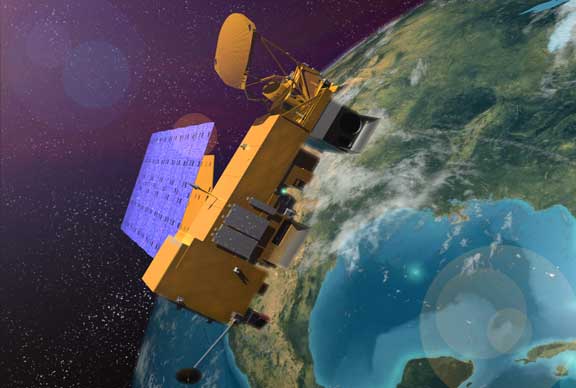
Aqua
An image of the Aqua satellite

Aqua

Aura
Image of Aura satellite

Aura

  • Ozone Monitoring Instrument (OMI)
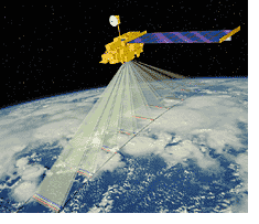
CALIPSO
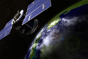
Image of CALIPSO satellite

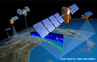
Cloud-Aerosol Lidar and Infrared Pathfinder Satellite Observations (CALIPSO)

  • Cloud-Aerosol Lidar with Orthogonal Polarization (CALIOP)
  • Imaging Infrared Radiometer (IIR)
  • Wide Field Camera (WFC)
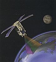
CloudSat
Image of CloudSat satellite

CloudSat

  • Cloud Profiling Radar (CPR) is a 94-GHz nadir-looking radar
EnviSat
A image of ENVISAT satellite

ENVISAT

POES NOAA-16
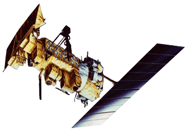
Image of POES NOAA-16 satellite

Polar Orbiting Environmental Satellite (POES)

  • Advanced Very High Resolution Radiometer (AVHRR)
  • Tiros Operational Vertical Sounder (TOVS)
SeaWiFS
An image of the SeaStar satellite with SeaWiFS instrument.

Sea-viewing Wide Field-of-view Sensor (SeaWiFS)

Terra
An image of the TERRA satellite

Terra


  + Privacy Policy and Important Notices NASA Curator: Ilya Slutsker
NASA Official: Pawan Gupta
Last Updated: March 14, 2008